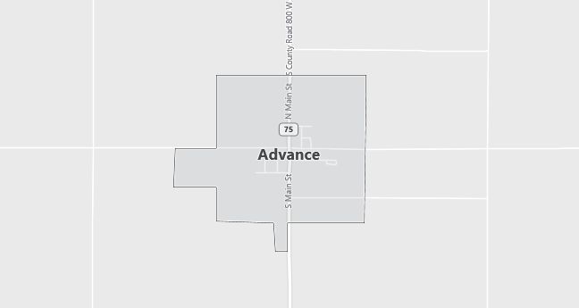
Moving to Advance, Indiana
The current estimated population of Advance, Indiana is 515, with 50.1% male and 49.9% female. The town has seen stable population trends, typical of small, rural Midwestern communities.
City Facts
- Year founded: 1820
- County: Boone
- Land area: 0.33 square miles
- Population density: Approximately 1,561 people per square mile
- Area code: 765
- Zip code: 46102
Geography and Location
Advance, Indiana is located in central Indiana, in Boone County, approximately 30 miles northwest of Indianapolis. The town is situated in a rural area, surrounded by farmland and small forests. Advance’s proximity to larger towns like Lebanon and Indianapolis allows residents to enjoy a rural lifestyle while having access to urban amenities. The area is known for its agricultural economy, with corn and soybeans being the primary crops grown in the region. The flat landscape typical of central Indiana makes Advance a quiet and peaceful place to live, with a strong sense of community.
Demographics
Median resident age: 32.0 years
Median household income: $45,000
Median house value: $83,300
Population by Race
Races in Advance:
- White Non-Hispanic (98.8%)
- Hispanic (1.2%)
- American Indian (0.9%)
Ancestries: German (15.3%), Irish (13.3%), United States (10.1%), English (6.8%), Swedish (2.5%), Italian (1.6%).
Elevation: 934 feet
Land area: 0.6 square miles

Population by Education
For population 25 years and over in Advance
- High school or higher: 82.2%
- Bachelor’s degree or higher: 6.3%
- Graduate or professional degree: 0.6%
- Unemployed: 3.9%
- Mean travel time to work: 27.9 minutes
For population 15 years and over in Advance town
- Never married: 15.5%
- Now married: 62.9%
- Separated: 2.2%
- Widowed: 5.7%
- Divorced: 13.8%
0.0% Foreign born
Population change in the 1990s: +33 (+6.2%).
Hospitals
Hospitals/medical centers near Advance:
- WITHAM MEMORIAL HOSPITAL (about 12 miles; LEBANON, IN)
- HENDRICKS COMMUNITY HOSPITAL (about 18 miles; DANVILLE, IN)
- ST CLARE MEDICAL CENTER (about 20 miles; CRAWFORDSVILLE, IN)
Airports
Airports certified for carrier operations nearest to Advance:
- INDIANAPOLIS INTL (about 31 miles; INDIANAPOLIS, IN; Abbreviation: IND)
- PURDUE UNIVERSITY (about 36 miles; LAFAYETTE, IN; Abbreviation: LAF)
- MOUNT COMFORT (about 53 miles; INDIANAPOLIS, IN; Abbreviation: MQJ)
Other public-use airports nearest to Advance:
- BOONE COUNTY (about 13 miles; LEBANON, IN; Abbreviation: 6I4)
- FRANKFORT MUNI (about 20 miles; FRANKFORT, IN; Abbreviation: FKR)
- CRAWFORDSVILLE MUNI (about 21 miles; CRAWFORDSVILLE, IN; Abbreviation: CFJ)
Amtrak station near Advance:
- 20 miles: CRAWFORDSVILLE (SPRING & GREEN STS.). Services: partially wheelchair accessible, public payphones, free short-term parking, free long-term parking, call for taxi service, intercity bus service.
Colleges and Universities
Colleges/universities with over 2000 students nearest to Advance:
- DEPAUW UNIVERSITY (about 30 miles; GREENCASTLE, IN; Full-time enrollment: 2,197)
- BUTLER UNIVERSITY (about 34 miles; INDIANAPOLIS, IN; Full-time enrollment: 3,721)
- INDIANA UNIVERSITY-PURDUE UNIVERSITY-INDIANAPOLIS (about 36 miles; INDIANAPOLIS, IN; Full-time enrollment: 19,818)
- IVY TECH STATE COLLEGE-CENTRAL INDIANA (about 36 miles; INDIANAPOLIS, IN; Full-time enrollment: 3,397)
- PURDUE UNIVERSITY-MAIN CAMPUS (about 36 miles; WEST LAFAYETTE, IN; Full-time enrollment: 36,407)
- UNIVERSITY OF INDIANAPOLIS (about 41 miles; INDIANAPOLIS, IN; Full-time enrollment: 2,784)
- INDIANA UNIVERSITY-BLOOMINGTON (about 58 miles; BLOOMINGTON, IN; Full-time enrollment: 33,835)
