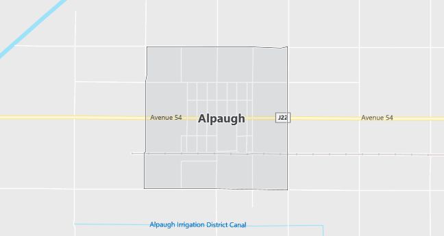
Moving to Alpaugh, California
The current estimated population of Alpaugh, California is 1,026, with 51% male and 49% female. Alpaugh’s population has experienced little growth, typical of many small agricultural communities in the Central Valley.
City Facts
- Year founded: 1915
- County: Tulare
- Land area: 1.3 square miles
- Population density: Approximately 789 people per square mile
- Area code: 559
- Zip code: 93201
Geography and Location
Alpaugh, California is located in Tulare County, in the Central Valley of California, about 45 miles south of Visalia. The town is surrounded by farmland, with agriculture—particularly crops like cotton and alfalfa—forming the backbone of the local economy. Alpaugh’s remote location and arid climate contribute to its small, rural nature. The town is also close to the Tulare Lake Basin, an important agricultural region that was once home to one of the largest freshwater lakes in California. Alpaugh offers a quiet, rural lifestyle with a strong connection to agriculture.
Demographics
Median resident age: 26.5 years
Median household income: $23,687
Median house value: $57,100
Population by Race
Races in Alpaugh:
- Hispanic (54.1%)
- Other race (43.1%)
- White Non-Hispanic (39.6%)
- Two or more races (5.1%)
- American Indian (3.2%)
- Filipino (1.4%)
(Total can be greater than 100% because Hispanics could be counted in other races)
Ancestries: United States (5.3%), English (2.6%), German (2.5%), Irish (2.1%).
Elevation: 210 feet
Land area: 1.0 square miles

Population by Education
For population 25 years and over in Alpaugh
- High school or higher: 36.5%
- Bachelor’s degree or higher: 2.2%
- Graduate or professional degree: 1.1%
- Unemployed: 32.0%
- Mean travel time to work: 23.2 minutes
For population 15 years and over in Alpaugh CDP
- Never married: 32.3%
- Now married: 52.6%
- Separated: 2.5%
- Widowed: 4.0%
- Divorced: 8.6%
23.7% Foreign born (23.1% Latin America).
Hospitals
Hospitals/medical centers near Alpaugh:
- CORCORAN DISTRICT HOSPITAL (about 15 miles; CORCORAN, CA)
- DELANO REGIONAL MEDICAL CENTER (about 20 miles; DELANO, CA)
- TULARE DISTRICT HOSPITAL (about 24 miles; TULARE, CA)
Airports
Airports certified for carrier operations nearest to Alpaugh:
- VISALIA MUNI (about 31 miles; VISALIA, CA; Abbreviation: VIS)
- MEADOWS FIELD (about 44 miles; BAKERSFIELD, CA; Abbreviation: BFL)
- FRESNO YOSEMITE INTERNATIONAL (about 63 miles; FRESNO, CA; Abbreviation: FAT)
Other public-use airports nearest to Alpaugh:
- PIXLEY (about 14 miles; PIXLEY, CA; Abbreviation: Q90)
- CORCORAN (about 16 miles; CORCORAN, CA; Abbreviation: CRO)
- DELANO MUNI (about 21 miles; DELANO, CA; Abbreviation: DLO)
Amtrak station near Alpaugh:
- 16 miles: CORCORAN (WHITLEY & OTIS AVES.). Services: partially wheelchair accessible, public payphones, free short-term parking, free long-term parking.
Colleges and Universities
Colleges/universities with over 2000 students nearest to Alpaugh:
- COLLEGE OF THE SEQUOIAS (about 32 miles; VISALIA, CA; Full-time enrollment: 6,295)
- PORTERVILLE COLLEGE (about 35 miles; PORTERVILLE, CA; Full-time enrollment: 2,288)
- BAKERSFIELD COLLEGE (about 49 miles; BAKERSFIELD, CA; Full-time enrollment: 7,978)
- REEDLEY COLLEGE (about 50 miles; REEDLEY, CA; Full-time enrollment: 5,344)
- TAFT COLLEGE (about 51 miles; Taft, CA; Full-time enrollment: 2,801)
- CALIFORNIA STATE UNIVERSITY-BAKERSFIELD (about 52 miles; BAKERSFIELD, CA; Full-time enrollment: 5,273)
- CALIFORNIA STATE UNIVERSITY-FRESNO (about 60 miles; FRESNO, CA; Full-time enrollment: 16,035)
Schools
Public high school in Alpaugh:
- TULE HIGH (CONT.) (Students: 7; Location: AVE. 52 & BOSWELL; Grades: 09 – 12)
Public primary/middle schools in Alpaugh:
- ALPAUGH ELEMENTARY (Students: 150; Location: 5 CENTER & WILBUR; Grades: KG – 06)
- ALPAUGH JUNIOR-SENIOR HIGH (Students: 116; Location: 5313 ROAD 39; Grades: 06 – 12)
