Moving to Alta Vista, Kansas
The current estimated population of Alta Vista is 400, with 49% male and 51% female. The population has remained stable, supported by agriculture and its rural setting.
City Facts
- Year founded: 1887
- County: Wabaunsee County
- Land area: 0.36 square miles
- Population density: 1,111 people per square mile
- Area code: 785
- Zip code: 66834
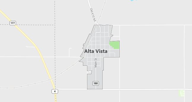
Geography and Location
Alta Vista is located in northeastern Kansas, in Wabaunsee County, within the Flint Hills region. The town is surrounded by rolling tallgrass prairies, which contribute to the agricultural economy. Alta Vista is known for its scenic rural landscapes and traditional small-town charm. The area has a humid continental climate, with hot summers and cold winters.
Demographics
Median resident age: 41.1 years
Median household income: $32,159
Median house value: $44,400
Population by Race
Races in Alta Vista:
- White Non-Hispanic (93.9%)
- Hispanic (4.1%)
- American Indian (1.6%)
- Native Hawaiian and Other Pacific Islander (0.7%)
- Two or more races (0.7%)
Ancestries: German (36.0%), Irish (12.4%), English (8.4%), Swedish (7.5%), United States (7.0%), Scotch-Irish (4.3%).
Elevation: 1437 feet
Land area: 0.4 square miles
Population by Education
For population 25 years and over in Alta Vista
- High school or higher: 78.8%
- Bachelor’s degree or higher: 7.0%
- Graduate or professional degree: 1.0%
- Unemployed: 1.8%
- Mean travel time to work: 27.1 minutes
For population 15 years and over in Alta Vista city
- Never married: 23.4%
- Now married: 52.7%
- Separated: 2.2%
- Widowed: 9.6%
- Divorced: 12.1%
1.1% Foreign born
Population change in the 1990s: -37 (-7.7%).
Hospitals
Hospitals/medical centers near Alta Vista:
- MORRIS COUNTY HOSPITAL (about 15 miles; COUNCIL GROVE, KS)
- MANHATTAN SURGICAL HOSPITAL LLC (about 23 miles; MANHATTAN, KS)
- MEMORIAL HOSPITAL (about 23 miles; MANHATTAN, KS)
Airports
Airports certified for carrier operations nearest to Alta Vista:
- MANHATTAN RGNL (about 23 miles; MANHATTAN, KS; Abbreviation: MHK)
- FORBES FIELD (about 59 miles; TOPEKA, KS; Abbreviation: FOE)
- SALINA MUNI (about 81 miles; SALINA, KS; Abbreviation: SLN)
Other public-use airports nearest to Alta Vista:
- COUNCIL GROVE MUNI (about 15 miles; COUNCIL GROVE, KS; Abbreviation: K63)
- HERINGTON REGIONAL (about 25 miles; HERINGTON, KS; Abbreviation: HRU)
- FREEMAN FIELD (about 27 miles; JUNCTION CITY, KS; Abbreviation: 3JC)
Colleges and Universities
Colleges/universities with over 2000 students nearest to Alta Vista:
- KANSAS STATE UNIVERSITY (about 24 miles; MANHATTAN, KS; Full-time enrollment: 19,210)
- EMPORIA STATE UNIVERSITY (about 38 miles; EMPORIA, KS; Full-time enrollment: 4,528)
- WASHBURN UNIVERSITY OF TOPEKA (about 52 miles; TOPEKA, KS; Full-time enrollment: 4,472)
- BUTLER COUNTY COMMUNITY COLLEGE (about 76 miles; EL DORADO, KS; Full-time enrollment: 4,250)
- UNIVERSITY OF KANSAS MAIN CAMPUS (about 85 miles; LAWRENCE, KS; Full-time enrollment: 22,506)
- FRIENDS UNIVERSITY (about 102 miles; WICHITA, KS; Full-time enrollment: 2,983)
- WICHITA STATE UNIVERSITY (about 106 miles; WICHITA, KS; Full-time enrollment: 10,403)
Public primary/middle school in Alta Vista:
- PRAIRIE HEIGHTS MIDDLE SCHOOL (Students: 83; Location: 801 CENTER; Grades: 05 – 08)