Moving to Atlanta, Indiana
The current estimated population of Atlanta, Indiana, is 750, with a near-equal gender composition of 48% male and 52% female. The population has remained relatively stable in recent years, with modest growth due to the town’s proximity to the Indianapolis metropolitan area.
City Facts
- Year Founded: 1834
- County Affiliation: Hamilton County
- Land Area: 0.32 square miles
- Population Density: 2,344 people per square mile
- Area Code: 765
- Zip Codes: 46031
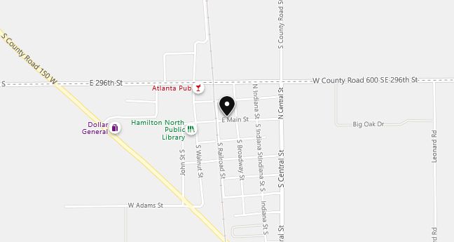
Geography and Location
Atlanta, Indiana, is a small town located in Hamilton County, approximately 35 miles north of Indianapolis. It is part of the greater Indianapolis metropolitan area and benefits from its proximity to the city, though it maintains a rural and small-town charm. The town is accessible via U.S. Route 31, which connects it to nearby communities and the Indianapolis metropolitan area.
The geography of Atlanta is typical of the central Indiana landscape, characterized by flat terrain and expansive farmland. Corn and soybean fields dominate the landscape, which is largely agricultural. The town itself is small and primarily residential, with a few local businesses and amenities serving its population. Atlanta’s rural setting, combined with its closeness to larger cities, makes it an attractive place for those looking for a quieter lifestyle within reach of urban employment opportunities.
Atlanta experiences a humid continental climate, with hot, humid summers and cold winters. The town has a strong sense of community, hosting annual events such as the Atlanta New Earth Festival, which draws visitors from across the region. This festival, celebrating local artisans and crafters, is a significant cultural event for the small town, enhancing its regional reputation.
Demographics
Median resident age: 33.5 years
Median household income: $43,036
Median house value: $81,800
Population by Race
Races in Atlanta:
- White Non-Hispanic (96.5%)
- Hispanic (2.1%)
- Other race (1.4%)
- American Indian (0.8%)
- Two or more races (0.8%)
Ancestries: German (17.6%), Irish (14.7%), English (13.8%), United States (11.7%), Dutch (5.3%), Italian (2.9%).
Elevation: 862 feet
Land area: 0.3 square miles
Population by Education
For population 25 years and over in Atlanta
- High school or higher: 83.0%
- Bachelor’s degree or higher: 7.7%
- Graduate or professional degree: 3.3%
- Unemployed: 5.8%
- Mean travel time to work: 30.9 minutes
For population 15 years and over in Atlanta town
- Never married: 25.0%
- Now married: 51.1%
- Separated: 0.8%
- Widowed: 10.8%
- Divorced: 12.3%
0.0% Foreign born
Population change in the 1990s: -17 (-2.2%).
Hospitals
Hospitals/medical centers near Atlanta:
- TIPTON COUNTY MEMORIAL HOSPITAL (about 6 miles; TIPTON, IN)
- RIVERVIEW HOSPITAL (about 12 miles; NOBLESVILLE, IN)
- ST VINCENT MERCY HOSPITAL, INC (about 14 miles; ELWOOD, IN)
Airports
Airports certified for carrier operations nearest to Atlanta:
- MOUNT COMFORT (about 28 miles; INDIANAPOLIS, IN; Abbreviation: MQJ)
- GRISSOM ARB (about 31 miles; PERU, IN; Abbreviation: GUS)
- ANDERSON MUNICIPAL-DARLINGTON FIELD (about 31 miles; ANDERSON, IN; Abbreviation: AID)
Other public-use airports nearest to Atlanta:
- SHERIDAN (about 14 miles; SHERIDAN, IN; Abbreviation: 5I4)
- ELWOOD (about 15 miles; ELWOOD, IN; Abbreviation: 3I1)
- WESTFIELD (about 16 miles; WESTFIELD, IN; Abbreviation: I72)
Colleges and Universities
Colleges/universities with over 2000 students nearest to Atlanta:
- ANDERSON UNIVERSITY (about 27 miles; ANDERSON, IN; Full-time enrollment: 2,116)
- BUTLER UNIVERSITY (about 29 miles; INDIANAPOLIS, IN; Full-time enrollment: 3,721)
- INDIANA UNIVERSITY-PURDUE UNIVERSITY-INDIANAPOLIS (about 31 miles; INDIANAPOLIS, IN; Full-time enrollment: 19,818)
- IVY TECH STATE COLLEGE-CENTRAL INDIANA (about 33 miles; INDIANAPOLIS, IN; Full-time enrollment: 3,397)
- INDIANA WESLEYAN UNIVERSITY (about 34 miles; MARION, IN; Full-time enrollment: 6,684)
- UNIVERSITY OF INDIANAPOLIS (about 38 miles; INDIANAPOLIS, IN; Full-time enrollment: 2,784)
- BALL STATE UNIVERSITY (about 43 miles; MUNCIE, IN; Full-time enrollment: 17,039)