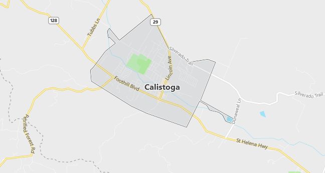
Moving to Calistoga, California
Population: 5,190. Estimated population in July 2024: 5,190 (0.0% change)
Males: 2,590 (49.9%), Females: 2,600 (50.1%)
Napa County
Zip code: 94515
Demographics
Median resident age: 38.1 years
Median household income: $38,454
Median house value: $273,100
Population by Race
Races in Calistoga:
- White Non-Hispanic (58.7%)
- Hispanic (38.1%)
- Other race (17.6%)
- Two or more races (3.4%)
- American Indian (1.6%)
(Total can be greater than 100% because Hispanics could be counted in other races)
Ancestries: German (14.7%), English (8.5%), Irish (8.4%), Italian (6.1%), French (3.1%), Scottish (3.0%).
Elevation: 362 feet
Land area: 2.6 square miles
Population by Education
For population 25 years and over in Calistoga
- High school or higher: 70.8%
- Bachelor’s degree or higher: 21.2%
- Graduate or professional degree: 5.9%
- Unemployed: 3.3%
- Mean travel time to work: 20.5 minutes
For population 15 years and over in Calistoga city
- Never married: 27.4%
- Now married: 49.0%
- Separated: 1.4%
- Widowed: 9.5%
- Divorced: 12.8%
29.1% Foreign born (22.0% Latin America, 3.9% Europe).
Population change in the 1990s: +618 (+13.5%).
Hospitals
Hospitals/medical centers near Calistoga:
- ST HELENA HOSPITAL (about 8 miles; DEER PARK, CA)
- SUTTER MEDICAL CENTER OF SANTA ROSA (about 12 miles; SANTA ROSA, CA)
- SANTA ROSA MEMORIAL HOSPITAL (about 12 miles; SANTA ROSA, CA)
Airports
Airports certified for carrier operations nearest to Calistoga:
- SONOMA COUNTY (about 17 miles; SANTA ROSA, CA; Abbreviation: STS)
- TRAVIS AFB (about 52 miles; FAIRFIELD, CA; Abbreviation: SUU)
- BUCHANAN FIELD (about 56 miles; CONCORD, CA; Abbreviation: CCR)
Other public-use airports nearest to Calistoga:
- ANGWIN-PARRETT FIELD (about 11 miles; ANGWIN, CA; Abbreviation: 2O3)
- HEALDSBURG MUNI (about 22 miles; HEALDSBURG, CA; Abbreviation: O31)
- PETALUMA MUNI (about 23 miles; PETALUMA, CA; Abbreviation: O69)
Amtrak stations near Calistoga:
- 14 miles: SANTA ROSA (175 RAILROAD ST.) – Bus Station. Services: fully wheelchair accessible, public restrooms, public payphones, full-service food facilities, free short-term parking, call for taxi service.
- 19 miles: ROHNERT PARK (6480 REDWOOD DR.) – Bus Station. Services: fully wheelchair accessible, public restrooms, public payphones, full-service food facilities, free short-term parking, call for taxi service.
- 20 miles: HEALDSBURG (HEALDSBURG AVE. & MATHESON ST.) – Bus Station
Colleges and Universities
Colleges/universities with over 2000 students nearest to Calistoga:
- SANTA ROSA JUNIOR COLLEGE (about 15 miles; SANTA ROSA, CA; Full-time enrollment: 13,542)
- SONOMA STATE UNIVERSITY (about 18 miles; ROHNERT PARK, CA; Full-time enrollment: 6,445)
- NAPA VALLEY COLLEGE (about 26 miles; NAPA, CA; Full-time enrollment: 3,558)
- COLLEGE OF MARIN (about 44 miles; KENTFIELD, CA; Full-time enrollment: 3,919)
- SOLANO COUNTY COMMUNITY COLLEGE DISTRICT (about 44 miles; SUISUN, CA; Full-time enrollment: 5,598)
- CONTRA COSTA COLLEGE (about 46 miles; SAN PABLO, CA; Full-time enrollment: 3,626)
- UNIVERSITY OF CALIFORNIA-BERKELEY (about 55 miles; BERKELEY, CA; Full-time enrollment: 29,690)
Schools
Public high schools in Calistoga:
- CALISTOGA JUNIOR-SENIOR HIGH (Students: 384; Location: 1608 LAKE ST.; Grades: 07 – 12)
- PALISADES HIGH (CONT.) (Students: 8; Location: 1507 GRANT ST.; Grades: 09 – 12)
Public primary/middle school in Calistoga:
- CALISTOGA ELEMENTARY (Students: 494; Location: 1327 BERRY ST.; Grades: KG – 06)