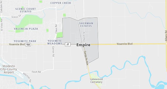
Moving to Empire, California
Population: 3,903
Males: 1,907 (48.9%), Females: 1,996 (51.1%)
Stanislaus County
Demographics
Median resident age: 31.7 years
Median household income: $27,500
Median house value: $91,000
Population by Race
Races in Empire:
- White Non-Hispanic (50.7%)
- Hispanic (42.9%)
- Other race (24.6%)
- Two or more races (5.4%)
- American Indian (4.3%)
- Asian Indian (0.7%)
- Other Asian (0.6%)
- Black (0.5%)
(Total can be greater than 100% because Hispanics could be counted in other races)
Ancestries: German (12.3%), United States (6.5%), Irish (5.0%), Portuguese (3.6%), Italian (3.5%), English (3.1%).
Elevation: 115 feet
Land area: 1.6 square miles
Population by Education
For population 25 years and over in Empire
- High school or higher: 58.6%
- Bachelor’s degree or higher: 5.2%
- Graduate or professional degree: 1.5%
- Unemployed: 23.6%
- Mean travel time to work: 23.0 minutes
For population 15 years and over in Empire CDP
- Never married: 32.4%
- Now married: 49.4%
- Separated: 2.0%
- Widowed: 7.7%
- Divorced: 8.5%
16.1% Foreign born (14.6% Latin America).
Hospitals
Hospitals/medical centers near Empire:
- MEMORIAL HOSPITAL MEDICAL CENTER (about 4 miles; MODESTO, CA)
- STANISLAUS SURGICAL HOSPITAL (about 4 miles; MODESTO, CA)
- MODESTO REHAB HOSPITAL (about 6 miles; MODESTO, CA)
Airports
Airports certified for carrier operations nearest to Empire:
- MODESTO CITY-CO-HARRY SHAM FLD (about 4 miles; MODESTO, CA; Abbreviation: MOD)
- STOCKTON METROPOLITAN (about 28 miles; STOCKTON, CA; Abbreviation: SCK)
- MERCED MUNICIPAL/MACREADY FIELD (about 38 miles; MERCED, CA; Abbreviation: MCE)
Other public-use airports nearest to Empire:
- OAKDALE (about 11 miles; OAKDALE, CA; Abbreviation: O27)
- TURLOCK MUNI (about 20 miles; TURLOCK, CA; Abbreviation: O15)
- NEW JERUSALEM (about 27 miles; TRACY, CA; Abbreviation: 1Q4)
Amtrak stations near Empire:
- 2 miles: MODESTO (1700 HELD DRIVE). Services: ticket office, fully wheelchair accessible, enclosed waiting area, public restrooms, public payphones, vending machines, free short-term parking, free long-term parking, call for car rental service, call for taxi service, public transit connection.
- 11 miles: TURLOCK-DENAIR (DENAIR, SANTA FE ST. AT ELM ST.). Services: fully wheelchair accessible, public payphones, vending machines, free short-term parking, free long-term parking, call for taxi service.
Colleges and Universities
Colleges/universities with over 2000 students nearest to Empire:
- MODESTO JUNIOR COLLEGE (about 8 miles; MODESTO, CA; Full-time enrollment: 8,428)
- CALIFORNIA STATE UNIVERSITY-STANISLAUS (about 10 miles; TURLOCK, CA; Full-time enrollment: 5,443)
- MERCED COLLEGE (about 35 miles; MERCED, CA; Full-time enrollment: 5,482)
- UNIVERSITY OF THE PACIFIC (about 37 miles; STOCKTON, CA; Full-time enrollment: 5,242)
- SAN JOAQUIN DELTA COLLEGE (about 38 miles; STOCKTON, CA; Full-time enrollment: 9,739)
- LAS POSITAS COLLEGE (about 57 miles; LIVERMORE, CA; Full-time enrollment: 3,564)
- GAVILAN COLLEGE (about 63 miles; GILROY, CA; Full-time enrollment: 2,791)
Public primary/middle schools in Empire:
- TEEL MIDDLE (Students: 796; Location: 5255 FIRST ST.; Grades: 06 – 08)
- HUGHES (BERNARD L.) ELEMENTARY (Students: 586; Location: 512 N. MCCLURE ROAD; Grades: KG – 05)
- EMPIRE ELEMENTARY (Students: 562; Location: 5201 FIRST ST.; Grades: KG – 05)
- CAPISTRANO ELEMENTARY (Students: 543; Location: 400 CAPISTRANO DR.; Grades: KG – 05)