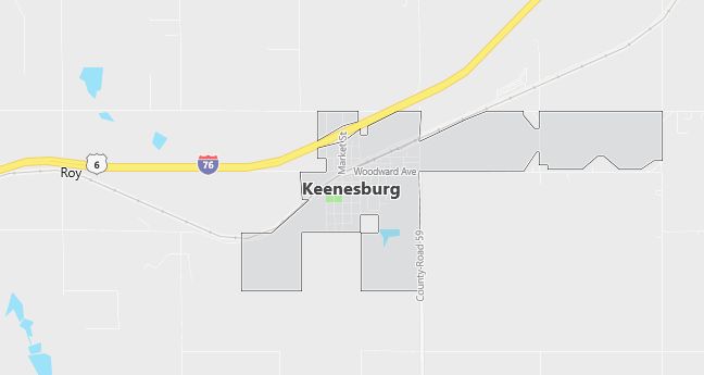
Moving to Keenesburg, Colorado
Population: 855. Estimated population in July 2024: 1,141 (+33.5% change)
Males: 419 (49.0%), Females: 436 (51.0%)
Weld County
Zip code: 80643
Demographics
Median resident age: 32.2 years
Median household income: $41,417
Median house value: $129,500
Population by Race
Races in Keenesburg:
- White Non-Hispanic (90.2%)
- Hispanic (7.8%)
- Other race (4.6%)
- Two or more races (2.3%)
- American Indian (1.2%)
(Total can be greater than 100% because Hispanics could be counted in other races)
Ancestries: German (31.8%), Irish (13.5%), English (9.2%), French (5.4%), United States (5.0%), Swedish (4.7%).
Elevation: 4958 feet
Land area: 0.6 square miles
Population by Education
For population 25 years and over in Keenesburg
- High school or higher: 89.9%
- Bachelor’s degree or higher: 7.2%
- Graduate or professional degree: 1.3%
- Unemployed: 5.3%
- Mean travel time to work: 35.3 minutes
For population 15 years and over in Keenesburg town
- Never married: 21.1%
- Now married: 60.8%
- Separated: 0.6%
- Widowed: 5.5%
- Divorced: 11.9%
2.5% Foreign born (1.4% Latin America, 0.6% North America, 0.5% Europe).
Population change in the 1990s: +305 (+55.5%).
Hospitals
Hospitals/medical centers near Keenesburg:
- PLATTE VALLEY MEDICAL CTR (about 23 miles; BRIGHTON, CO)
- NORTH COLORADO MEDICAL CENTER (about 25 miles; GREELEY, CO)
- MEDICAL CTR OF AURORA THE (about 33 miles; AURORA, CO)
Airports
Airports certified for carrier operations nearest to Keenesburg:
- DENVER INTL (about 21 miles; DENVER, CO; Abbreviation: DEN)
- BUCKLEY AFB (about 33 miles; AURORA, CO; Abbreviation: BKF)
- FORT COLLINS-LOVELAND MUNI (about 41 miles; FORT COLLINS/LOVELAND, CO; Abbreviation: FNL)
Other public-use airports nearest to Keenesburg:
- PLATTE VALLEY AIRPARK (about 13 miles; HUDSON, CO; Abbreviation: 18V)
- EASTON/VALLEY VIEW/ (about 16 miles; GREELEY, CO; Abbreviation: 11V)
- FRONT RANGE (about 23 miles; DENVER, CO; Abbreviation: FTG)
Amtrak station near Keenesburg:
- 20 miles: DENVER INTERNATIONAL AP’T (DENVER, DENVER INTERNATIONAL AIRPORT) – Bus Station. Services: enclosed waiting area, public restrooms, public payphones, full-service food facilities, paid short-term parking, paid long-term parking, car rental agency, taxi stand, public transit connection.
Colleges and Universities
Colleges/universities with over 2000 students nearest to Keenesburg:
- UNIVERSITY OF NORTHERN COLORADO (about 24 miles; GREELEY, CO; Full-time enrollment: 10,983)
- AIMS COMMUNITY COLLEGE (about 25 miles; GREELEY, CO; Full-time enrollment: 3,722)
- METROPOLITAN STATE COLLEGE OF DENVER (about 27 miles; DENVER, CO; Full-time enrollment: 12,938)
- UNIVERSITY OF COLORADO AT DENVER (about 27 miles; DENVER, CO; Full-time enrollment: 8,839)
- UNIVERSITY OF DENVER (about 27 miles; DENVER, CO; Full-time enrollment: 7,592)
- COMMUNITY COLLEGE OF DENVER (about 27 miles; DENVER, CO; Full-time enrollment: 3,352)
- ARAPAHOE COMMUNITY COLLEGE (about 27 miles; LITTLETON, CO; Full-time enrollment: 3,666)
Schools
Public high school in Keenesburg:
- WELD CENTRAL SENIOR HIGH SCHOOL (Students: 475; Location: 4977 WELD COUNTY ROAD 59; Grades: 09 – 12)
Public primary/middle schools in Keenesburg:
- HOFF ELEMENTARY SCHOOL (Students: 327; Location: 99 WEST BROADWAY; Grades: PK – 06)
- WELD CENTRAL JUNIOR HIGH SCHOOL (Students: 290; Location: 4977 WELD COUNTY ROAD 59; Grades: 07 – 08)
- CARDINAL COMMUNITY ACADEMY CHARTER SCHOOL (Students: 125; Location: 3101 WCR 65; Grades: KG – 06)