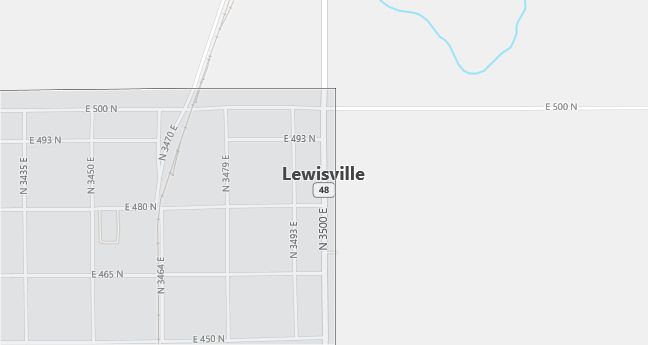
Moving to Lewisville, Idaho
Population: 467. Estimated population in July 2024: 497 (+6.4% change)
Males: 240 (51.4%), Females: 227 (48.6%)
Jefferson County
Zip code: 83431
Demographics
Median resident age: 34.2 years
Median household income: $49,135
Median house value: $80,800
Population by Race
Races in Lewisville:
- White Non-Hispanic (85.9%)
- Hispanic (12.6%)
- Other race (10.5%)
- Two or more races (1.3%)
- American Indian (1.1%)
(Total can be greater than 100% because Hispanics could be counted in other races)
Ancestries: English (26.3%), German (12.6%), Swedish (9.2%), United States (8.4%), Danish (6.9%), Irish (3.9%).
Elevation: 4795 feet
Land area: 0.6 square miles

Population by Education
For population 25 years and over in Lewisville
- High school or higher: 81.9%
- Bachelor’s degree or higher: 13.3%
- Graduate or professional degree: 2.4%
- Unemployed: 5.9%
- Mean travel time to work: 27.1 minutes
For population 15 years and over in Lewisville city
- Never married: 32.2%
- Now married: 60.7%
- Separated: 0.3%
- Widowed: 3.0%
- Divorced: 3.8%
8.6% Foreign born (8.4% Latin America).
Population change in the 1990s: +2 (+0.4%).
Hospitals
Hospitals/medical centers near Lewisville:
- IDAHO FALLS RECOVERY CENTER (about 16 miles; IDAHO FALLS, ID)
- MADISON MEMORIAL HOSPITAL (about 17 miles; REXBURG, ID)
- BINGHAM MEMORIAL HOSPITAL (about 43 miles; BLACKFOOT, ID)
Airports
Airports certified for carrier operations nearest to Lewisville:
- IDAHO FALLS RGNL (about 14 miles; IDAHO FALLS, ID; Abbreviation: IDA)
- POCATELLO REGIONAL (about 68 miles; POCATELLO, ID; Abbreviation: PIH)
- JACKSON HOLE (about 89 miles; JACKSON, WY; Abbreviation: JAC)
Other public-use airports nearest to Lewisville:
- RIGBY-JEFFERSON COUNTY (about 8 miles; RIGBY, ID; Abbreviation: U56)
- REXBURG-MADISON COUNTY (about 18 miles; REXBURG, ID; Abbreviation: RXE)
- STANFORD FIELD (about 29 miles; ST ANTHONY, ID; Abbreviation: U12)
Amtrak station near Lewisville:
- 14 miles: IDAHO FALLS (GREYHOUND STA., 850 DENVER RD.) – Bus Station. Services: enclosed waiting area, public restrooms, public payphones, intercity bus service.
