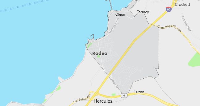
Moving to Rodeo, California
Population: 8,717
Males: 4,225 (48.5%), Females: 4,492 (51.5%)
Contra Costa County
Zip code: 94572
Demographics
Median resident age: 34.9 years
Median household income: $60,522
Median house value: $198,900
Population by Race
Races in Rodeo:
- White Non-Hispanic (45.2%)
- Hispanic (17.1%)
- Black (16.0%)
- Filipino (9.4%)
- Other race (7.2%)
- Two or more races (6.8%)
- American Indian (3.1%)
- Chinese (2.1%)
- Asian Indian (2.0%)
- Other Asian (1.4%)
- Native Hawaiian and Other Pacific Islander (0.5%)
(Total can be greater than 100% because Hispanics could be counted in other races)
Ancestries: German (10.6%), Irish (7.7%), English (7.5%), Italian (7.0%), United States (3.3%), Portuguese (2.6%).
Elevation: 20 feet
Land area: 7.4 square miles
Population by Education
For population 25 years and over in Rodeo
- High school or higher: 84.0%
- Bachelor’s degree or higher: 18.3%
- Graduate or professional degree: 4.8%
- Unemployed: 6.8%
- Mean travel time to work: 32.9 minutes
For population 15 years and over in Rodeo CDP
- Never married: 28.0%
- Now married: 53.2%
- Separated: 2.4%
- Widowed: 6.7%
- Divorced: 9.8%
18.8% Foreign born (12.3% Asia, 4.4% Latin America).
Hospitals
Hospitals/medical centers near Rodeo:
- CALIFORNIA SPECIALTY HOSPITAL (about 6 miles; VALLEJO, CA)
- KAISER FOUNDATION HOSPITAL VALLEJO (about 6 miles; VALLEJO, CA)
- SUTTER SOLANO MEDICAL CENTER (about 6 miles; VALLEJO, CA)
Airports
Airports certified for carrier operations nearest to Rodeo:
- BUCHANAN FIELD (about 16 miles; CONCORD, CA; Abbreviation: CCR)
- METROPOLITAN OAKLAND INTL (about 22 miles; OAKLAND, CA; Abbreviation: OAK)
- TRAVIS AFB (about 29 miles; FAIRFIELD, CA; Abbreviation: SUU)
Other public-use airports nearest to Rodeo:
- NAPA COUNTY (about 12 miles; NAPA, CA; Abbreviation: APC)
- SONOMA VALLEY (about 18 miles; SCHELLVILLE/SONOMA, CA; Abbreviation: 0Q3)
- SONOMA SKYPARK (about 20 miles; SONOMA, CA; Abbreviation: 0Q9)
Amtrak stations near Rodeo:
- 8 miles: VALLEJO-MARINE WORLD (VALLEJO, 1000 FAIRGROUNDS DR.) – Bus Station. Services: fully wheelchair accessible, public restrooms, public payphones, snack bar, free short-term parking, free long-term parking, call for taxi service.
- 9 miles: MARTINEZ (401 FERRY ST.). Services: ticket office, fully wheelchair accessible, enclosed waiting area, public restrooms, public payphones, full-service food facilities, free short-term parking, free long-term parking, call for taxi service, public transit connection.
- 10 miles: RICHMOND (16TH ST. & MACDONALD AVE.). Services: fully wheelchair accessible, enclosed waiting area, public restrooms, public payphones, free short-term parking, call for taxi service, public transit connection.
Colleges and Universities
Colleges/universities with over 2000 students nearest to Rodeo:
- CONTRA COSTA COLLEGE (about 7 miles; SAN PABLO, CA; Full-time enrollment: 3,626)
- UNIVERSITY OF CALIFORNIA-BERKELEY (about 12 miles; BERKELEY, CA; Full-time enrollment: 29,690)
- DIABLO VALLEY COLLEGE (about 15 miles; PLEASANT HILL, CA; Full-time enrollment: 12,029)
- LANEY COLLEGE (about 16 miles; OAKLAND, CA; Full-time enrollment: 5,549)
- MERRITT COLLEGE (about 18 miles; OAKLAND, CA; Full-time enrollment: 2,646)
- COLLEGE OF ALAMEDA (about 18 miles; ALAMEDA, CA; Full-time enrollment: 2,450)
- ACADEMY OF ART COLLEGE (about 20 miles; SAN FRANCISCO, CA; Full-time enrollment: 4,548)
Public primary/middle school in Rodeo:
- HILLCREST ELEMENTARY (Students: 695; Location: 601 CALIFORNIA ST.; Grades: KG – 05)
Private primary/middle school in Rodeo:
- ST PATRICKS ELEMENTARY SCHOOL (Students: 272; Location: 907 SEVENTH STREET; Grades: KG – 8)