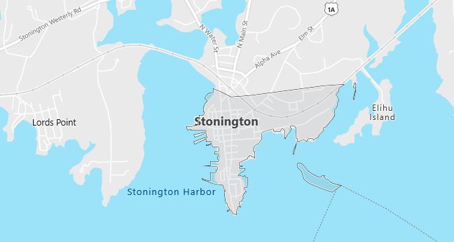
Moving to Stonington, Connecticut
Population: 17,906. Estimated population in July 2024: 18,336 (+2.4% change)
Males: 8,701 (48.6%), Females: 9,205 (51.4%)
New London County
Demographics
Median resident age: 41.7 years
Median household income: $52,437
Median house value: $168,200
Population by Race
Races in Stonington:
- White Non-Hispanic (95.0%)
- Two or more races (1.4%)
- Hispanic (1.3%)
- American Indian (0.9%)
- Chinese (0.7%)
- Black (0.6%)
Ancestries: Irish (22.5%), English (18.8%), Italian (16.4%), German (12.1%), French (7.7%), Polish (7.3%).
Elevation: 20 feet
Land area: 0.3 square miles
Population by Education
For population 25 years and over in Stonington
- High school or higher: 88.2%
- Bachelor’s degree or higher: 34.6%
- Graduate or professional degree: 15.4%
- Unemployed: 3.1%
- Mean travel time to work: 21.3 minutes
For population 15 years and over in Stonington town
- Never married: 21.6%
- Now married: 57.4%
- Separated: 1.4%
- Widowed: 8.3%
- Divorced: 11.3%
5.2% Foreign born (3.5% Europe, 0.6% Asia).
Hospitals
Hospitals/medical centers near Stonington:
- WESTERLY HOSPITAL (about 8 miles; WESTERLY, RI)
- LAWRENCE & MEMORIAL HOSPITAL (about 14 miles; NEW LONDON, CT)
- WILLIAM W BACKUS HOSPITAL (about 18 miles; NORWICH, CT)
Airports
Airports certified for carrier operations nearest to Stonington:
- GROTON-NEW LONDON (about 9 miles; GROTON NEW LONDON, CT; Abbreviation: GON)
- THEODORE FRANCIS GREEN STATE (about 43 miles; PROVIDENCE, RI; Abbreviation: PVD)
- HARTFORD-BRAINARD (about 59 miles; HARTFORD, CT; Abbreviation: HFD)
Other public-use airports nearest to Stonington:
- WESTERLY STATE (about 8 miles; WESTERLY, RI; Abbreviation: WST)
- ELIZABETH FIELD (about 10 miles; FISHERS ISLAND, NY; Abbreviation: 0B8)
- MONTAUK (about 19 miles; MONTAUK, NY; Abbreviation: MTP)
Amtrak stations near Stonington:
- 4 miles: MYSTIC (RTE. 1). Services: enclosed waiting area, public restrooms, public payphones, free short-term parking, call for car rental service, call for taxi service, public transit connection.
- 7 miles: WESTERLY (14 RAILROAD AVE.). Services: ticket office, enclosed waiting area, public restrooms, public payphones, vending machines, paid short-term parking, call for car rental service, call for taxi service, public transit connection.
- 10 miles: FOXWOOD CASINO (LEDYARD, ROUTE 2) – Bus Station
Colleges and Universities
Colleges/universities with over 2000 students nearest to Stonington:
- UNIVERSITY OF RHODE ISLAND (about 28 miles; KINGSTON, RI; Full-time enrollment: 11,759)
- EASTERN CONNECTICUT STATE UNIVERSITY (about 34 miles; WILLIMANTIC, CT; Full-time enrollment: 4,165)
- UNIVERSITY OF CONNECTICUT (about 41 miles; STORRS, CT; Full-time enrollment: 16,952)
- COMMUNITY COLLEGE OF RHODE ISLAND (about 41 miles; WARWICK, RI; Full-time enrollment: 8,650)
- NEW ENGLAND INSTITUTE OF TECHNOLOGY (about 41 miles; WARWICK, RI; Full-time enrollment: 2,419)
- BRYANT COLLEGE (about 47 miles; SMITHFIELD, RI; Full-time enrollment: 2,926)
- RHODE ISLAND COLLEGE (about 48 miles; PROVIDENCE, RI; Full-time enrollment: 6,208)
Public primary/middle school in Stonington:
- DEANS MILL SCHOOL (Students: 509; Location: 35 DEANS MILL RD.; Grades: PK – 04)
Private primary/middle school in Stonington:
- PINE POINT SCHOOL (Students: 247; Location: 89 BARNES RD; Grades: PK – 9)
Libraries
Library in Stonington:
- STONINGTON FREE LIBRARY (Operating income: $317,436; Location: 20 HIGH ST.; 36,362 books; 762 audio materials; 584 video materials; 106 serial subscriptions)