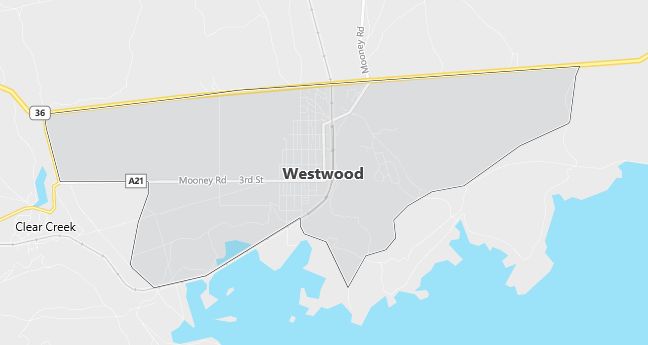
Moving to Westwood, California
Population: 1,998
Males: 1,002 (50.2%), Females: 996 (49.8%)
Zip code: 96137
Demographics
Median resident age: 36.3 years
Median household income: $24,148
Median house value: $76,500
Population by Race
Races in Westwood:
- White Non-Hispanic (84.0%)
- Hispanic (8.5%)
- American Indian (6.8%)
- Two or more races (2.9%)
- Other race (2.7%)
- Native Hawaiian and Other Pacific Islander (0.6%)
(Total can be greater than 100% because Hispanics could be counted in other races)
Ancestries: German (13.7%), Irish (12.5%), English (12.4%), United States (9.1%), French (6.5%), Norwegian (4.7%).
Land area: 5.5 square miles
Population by Education
For population 25 years and over in Westwood
- High school or higher: 81.2%
- Bachelor’s degree or higher: 7.4%
- Graduate or professional degree: 0.7%
- Unemployed: 16.8%
- Mean travel time to work: 23.2 minutes
For population 15 years and over in Westwood CDP
- Never married: 23.2%
- Now married: 47.0%
- Separated: 3.2%
- Widowed: 7.9%
- Divorced: 18.7%
2.1% Foreign born (1.4% Europe, 0.5% Latin America, 0.3% Asia).
Hospitals
Hospitals/medical centers near Westwood:
- INDIAN VALLEY DISTRICT HOSPITAL (about 14 miles; GREENVILLE, CA)
- SENECA DISTRICT HOSPITAL (about 16 miles; CHESTER, CA)
- PLUMAS DISTRICT HOSPITAL (about 24 miles; QUINCY, CA)
Airports
Airports certified for carrier operations nearest to Westwood:
- CHICO MUNI (about 69 miles; CHICO, CA; Abbreviation: CIC)
- BEALE AFB (about 86 miles; MARYSVILLE, CA; Abbreviation: BAB)
- REDDING MUNI (about 90 miles; REDDING, CA; Abbreviation: RDD)
Other public-use airports nearest to Westwood:
- ROGERS FIELD (about 17 miles; CHESTER, CA; Abbreviation: O05)
- GANSNER FIELD (about 26 miles; QUINCY, CA; Abbreviation: 2O1)
- SPAULDING (about 29 miles; SUSANVILLE, CA; Abbreviation: 1Q2)
Colleges and Universities
Colleges/universities with over 2000 students nearest to Westwood:
- BUTTE COLLEGE (about 66 miles; Oroville, CA; Full-time enrollment: 7,061)
- CALIFORNIA STATE UNIVERSITY-CHICO (about 68 miles; CHICO, CA; Full-time enrollment: 14,658)
- YUBA COLLEGE (about 87 miles; MARYSVILLE, CA; Full-time enrollment: 5,593)
- SHASTA COLLEGE (about 95 miles; REDDING, CA; Full-time enrollment: 5,251)
- TRUCKEE MEADOWS COMMUNITY COLLEGE (about 99 miles; RENO, NV; Full-time enrollment: 4,615)
- UNIVERSITY OF NEVADA-RENO (about 100 miles; RENO, NV; Full-time enrollment: 10,375)
- SIERRA COLLEGE (about 106 miles; ROCKLIN, CA; Full-time enrollment: 9,313)
Schools
Public high schools in Westwood:
- WESTWOOD HIGH (Students: 192; Location: 4TH & GREENWOOD ST.; Grades: 07 – 12)
- HORIZON HIGH (CONT.) (Students: 8; Location: 426-725 HWY. A-21; Grades: 10 – 12)
- WESTWOOD COMMUNITY DAY (Students: 3; Location: 205 3RD ST.; Grades: 07 – 12)
Public primary/middle schools in Westwood:
- WESTWOOD CHARTER SCHOOL (Students: 1,129; Location: 906 DELWOOD STREEET; Grades: KG – 12)
- FLETCHER WALKER ELEMENTARY (Students: 211; Location: 5TH & DELWOOD; Grades: KG – 06)
- RED RIVER COMMUNITY DAY SCHOOL (Students: 4; Location: 509 DELWOOD ST.; Grades: KG – 06)