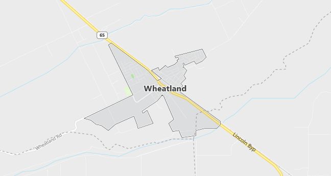
Moving to Wheatland, California
Population: 2,275. Estimated population in July 2024: 3,638 (+59.9% change)
Males: 1,101 (48.4%), Females: 1,174 (51.6%)
Yuba County
Zip code: 95692
Demographics
Median resident age: 31.7 years
Median household income: $34,861
Median house value: $107,000
Population by Race
Races in Wheatland:
- White Non-Hispanic (66.1%)
- Hispanic (21.2%)
- Other race (11.1%)
- Two or more races (6.4%)
- American Indian (4.0%)
- Other Asian (3.5%)
- Black (1.1%)
- Filipino (0.5%)
(Total can be greater than 100% because Hispanics could be counted in other races)
Ancestries: Irish (14.5%), German (13.1%), United States (9.7%), English (9.5%), French (3.3%), Italian (3.0%).
Elevation: 87 feet
Land area: 0.8 square miles
Population by Education
For population 25 years and over in Wheatland
- High school or higher: 76.9%
- Bachelor’s degree or higher: 11.4%
- Graduate or professional degree: 3.5%
- Unemployed: 11.0%
- Mean travel time to work: 26.7 minutes
For population 15 years and over in Wheatland city
- Never married: 24.2%
- Now married: 54.7%
- Separated: 2.6%
- Widowed: 7.3%
- Divorced: 11.2%
11.4% Foreign born (7.5% Latin America, 2.8% Asia).
Population change in the 1990s: +630 (+38.3%).
Hospitals
Hospitals/medical centers near Wheatland:
- RIDEOUT MEMORIAL HOSPITAL (about 13 miles; MARYSVILLE, CA)
- FREMONT MEDICAL CENTER (about 16 miles; YUBA CITY, CA)
- SUTTER ROSEVILLE MEDICAL CENTER (about 23 miles; ROSEVILLE, CA)
Airports
Airports certified for carrier operations nearest to Wheatland:
- BEALE AFB (about 9 miles; MARYSVILLE, CA; Abbreviation: BAB)
- SACRAMENTO INTERNATIONAL (about 26 miles; SACRAMENTO, CA; Abbreviation: SMF)
- CHICO MUNI (about 61 miles; CHICO, CA; Abbreviation: CIC)
Other public-use airports nearest to Wheatland:
- LINCOLN REGIONAL/KARL HARDER FIELD (about 10 miles; LINCOLN, CA; Abbreviation: LHM)
- YUBA COUNTY (about 11 miles; MARYSVILLE, CA; Abbreviation: MYV)
- SUTTER COUNTY (about 15 miles; YUBA CITY, CA; Abbreviation: O52)
Amtrak station near Wheatland:
- 15 miles: MARYSVILLE (6TH & A STS.) – Bus Station
Colleges and Universities
Colleges/universities with over 2000 students nearest to Wheatland:
- YUBA COLLEGE (about 13 miles; MARYSVILLE, CA; Full-time enrollment: 5,593)
- SIERRA COLLEGE (about 21 miles; ROCKLIN, CA; Full-time enrollment: 9,313)
- AMERICAN RIVER COLLEGE (about 25 miles; SACRAMENTO, CA; Full-time enrollment: 13,984)
- CALIFORNIA STATE UNIVERSITY-SACRAMENTO (about 31 miles; SACRAMENTO, CA; Full-time enrollment: 20,830)
- CHARLES A JONES SKILLS AND BUSINESS ED CENTER (about 34 miles; SACRAMENTO, CA; Full-time enrollment: 2,704)
- SACRAMENTO CITY COLLEGE (about 35 miles; SACRAMENTO, CA; Full-time enrollment: 10,762)
- COSUMNES RIVER COLLEGE (about 37 miles; SACRAMENTO, CA; Full-time enrollment: 7,980)
Schools
Public high schools in Wheatland:
- WHEATLAND UNION HIGH (Students: 692; Location: 1010 WHEATLAND ROAD; Grades: 09 – 12)
- ACADEMY FOR CAREER EDUCATION CHARTER (Students: 47; Location: 801 OLIVE ST.; Grades: 09 – 12)
Public primary/middle schools in Wheatland:
- BEAR RIVER ELEMENTARY (Students: 544; Location: 111 HOOPER ST.; Grades: 04 – 08)
- LONE TREE ELEMENTARY (Students: 435; Location: 123 BEALE HWY.; Grades: KG – 03)
- FAR WEST ELEMENTARY (Students: 295; Location: 456 BEALE HWY.; Grades: 04 – 06)
- WHEATLAND ELEMENTARY (Students: 218; Location: 200 MAIN ST.; Grades: KG – 03)
- WHEATLAND CHARTER ACADEMY (Students: 144; Location: 711 W. OLIVE STREET; Grades: KG – 12)